
 1 month ago
25
1 month ago
25
PROTECT YOURSELF with Orgo-Life® QUANTUM TECHNOLOGY
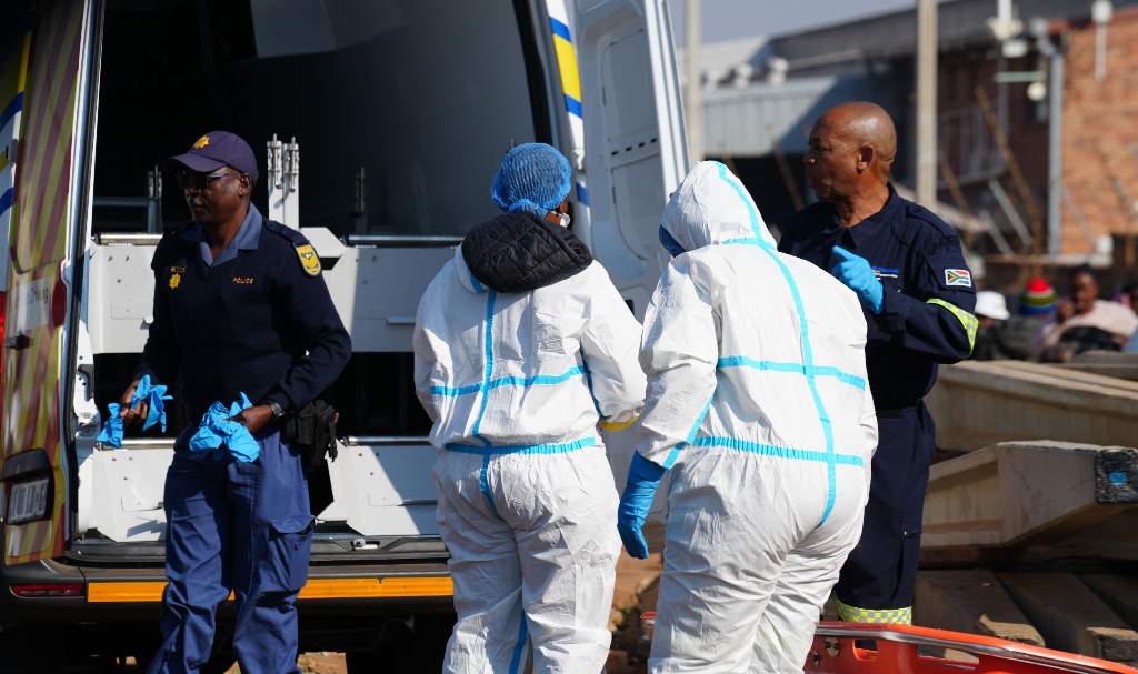
Orgo-Life the new way to the future Advertising by AdpathwayDisruptive rain leading to widespread flooding is expected to persist in parts of the Western Cape and Eastern Cape, with damaging snow also forecast for the latter, according to the South African Weather Service (SAWS).
Impact-based warnings
Orange Level 8 warning: Disruptive rain leading to widespread flooding and prolonged disruptions of settlements, roads and bridges is expected over Koukamma, Kouga municipalities and Nelson Mandela Bay metro of Eastern Cape.
Orange Level 6 warning: Disruptive rain leading to flooding of settlements and property, roads, and posing a danger to life, with some communities temporarily cut off from power, is expected over the extreme eastern parts of the south of the Western Cape, the western coast, and the adjacent interior of the Eastern Cape.
Yellow Level 2 warning: Disruptive rain, leading to localised flooding of susceptible settlements, roads and bridges, as well as localised disruption due to sinkholes or blocked drainage systems, is expected over the eastern parts of the Western Cape, the western parts of the Eastern Cape, and along the west coast of the Eastern Cape.
Orange Level 5 warning: Disruptive snow, leading to pass closures, communities temporarily cut off, and roads affected by snow accumulation, is expected over the Senqu, Elundini, and Walter Sisulu municipalities of the Eastern Cape.
Yellow Level 2 warning: Disruptive snow, leading to livestock losses and traffic disruptions, is expected over the Br Beyers Naude, Walter Sisulu (Burgersdorp) and Chris Hani municipalities in the Eastern Cape.
Orange Level 5 warning: Damaging winds are expected, leading to damage to infrastructure, difficult driving conditions, and disruption to power supply along the south coast and the adjacent interior of the Eastern Cape.
Yellow Level 2 warning: Damaging winds are expected, leading to localised damage to settlements, infrastructure and travel disruptions are expected over vast parts of the Eastern Cape.
Orange Level 6 warning: Damaging winds and waves leading to damage to coastal infrastructure, disruption of harbours, medium/large vessels dragging anchor/breaking mooring lines, and disruptions to the beachfront activities are expected between Cape Agulhas in the Western Cape and Port Edward in KwaZulu-Natal.
Yellow Level 4 warning: Damaging winds and waves resulting in disruption of small harbours and ports are expected between Cape Point and Cape Agulhas.
In the SAWS’ colour-coded weather warning system, yellow indicates a moderate risk of impact that requires caution and awareness, while orange indicates that a higher-risk impact is expected, requiring increased attention and preparation.
SAWS uses the numbers to indicate the likelihood of weather-based impacts occurring. Levels 2 and 6 are high, and Level 4 is low.
Advisories
Very cold, windy and wet conditions are expected over the Eastern Cape. The public and all small stock farmers are advised that a combination of snow, gale force winds, heavy rain, flooding, very cold conditions and very rough seas is expected.
The weather in your province
Gauteng: Partly cloudy and cool with isolated showers and rain in the south, where it will be cold.
Pretoria: 8°C — 17°C
Johannesburg: 7°C — 14°C
Vereeniging: 8°C — 14°C
Mpumalanga: Fine in the Lowveld, where it will be warm, otherwise partly cloudy and cool to cold.
Mbombela: 9°C — 16°C
Ermelo: 3°C — 13°C
Emalahleni: 4°C — 14°C
Standerton: 3°C — 14°C
Skukuza: 10°C — 26°C
Limpopo: Warm in the Lowveld, otherwise fine and cool but partly cloudy in the south-west.
Polokwane: 8°C — 17°C
Phalaborwa: 14°C — 26°C
Tzaneen: 9°C — 23°C
Musina: 16°C — 24°C
Lephalale: 8°C — 21°C
Mokopane: 6°C — 19°C
North West: Partly cloudy to cloudy and cold, with isolated showers and rain in the extreme south.
Klerksdorp: 5°C — 13°C
Potchefstroom: 5°C — 13°C
Mahikeng: 3°C — 16°C
Rustenburg: 5°C — 18°C
Vryburg: 4°C — 15°C
Free State: Cloudy and cold, with isolated showers and rain except in the extreme east.
Bloemfontein: 5°C — 12°C
Welkom: 6°C — 13°C
Bethlehem: 4°C — 9°C
Northern Cape: Partly cloudy to cloudy and cold to cool, with isolated showers and rain in the southern and south-eastern parts. The wind along the coast will be light to moderate southerly to south-easterly.
Upington: 7°C — 16°C
Kimberley: 5°C — 12°C
De Aar: 5°C — 11°C
Alexander Bay: 11°C — 22°C
Springbok: 6°C — 16°C
Calvinia: 7°C — 14°C
Sutherland: 5°C — 11°C
Western Cape: Cloudy and cold to cool with isolated showers and rain over the southern and eastern parts, but scattered over the south-eastern parts. The wind along the coast will be moderate to fresh southerly to south-easterly, but south-westerly along the south coast.
Cape Town: 14°C — 19°C
Vredendal: 12°C — 20°C
Riversdale: 12°C — 16°C
George: 12°C — 16°C
Worcester: 9°C — 17°C
Beaufort West: 8°C — 12°C
Oudtshoorn: 11°C — 15°C
Eastern Cape: Cloudy and cold to very cold with scattered showers in the western half, but widespread along the coast and adjacent interior.
The wind along the coast will be strong to gale force southerly to south-westerly in the west, moderating at night, and fresh to strong westerly in the east.
Gqeberha: 14°C — 16°C
Makhanda: 11°C — 14°C
Cradock: 4°C — 11°C
Graaff-Reinet: 6°C — 10°C
KuGompo City (East London): 14°C — 18°C
Port St Johns: 13°C — 19°C
Mthatha: 7°C — 14°C
Komani: 6°C — 10°C
Qonce: 11°C — 15°C
KwaZulu-Natal: Fine and cool but warm in the extreme north-east. It will become partly cloudy in the afternoon.
The wind along the coast will be moderate northerly to north-easterly, becoming moderate to fresh southerly to south-westerly south of Durban from mid-morning and spreading to Richards Bay in the evening.
Durban: 18°C — 25°C
Richards Bay: 15°C — 26°C
Pietermaritzburg: 8°C — 24°C
Ladysmith: 9°C — 21°C
*This weather report was written with the support of Toqan AI.


 English (US) ·
  French (CA) ·
  French (FR) ·